
- This event has passed.
Environmental Studies Seminar Series | Lightning Talks by ENVS Faculty
In person and via Zoom (Meeting ID: 978 5545 8946, Passcode: 454736).
If you are unable to stream the talk live and need to access a recorded version, please contact Stacy Philpott at sphilpot@ucsc.edu. A UC Santa Cruz email address is required to access the recording.
Host: Natalia Ocampo-Peñuela
Speaker #1: Hannah Waterhouse
Title: Building Cover Cropping Communities of Practice on California’s Central Coast
Abstract: California’s agricultural communities face the dual challenges of increasingly variable and limited irrigation water supplies, alongside persistent groundwater quality degradation from nitrate leaching that has imperiled drinking water for nearly one million residents of rural communities in the state. These challenges come together most acutely in California’s Central Coast region, the “Salad Bowl” of the U.S., where intensive, high-value vegetable and berry production dominates. The benefits provided by adding winter cover crops to these annual cropping systems are considered essential to improving groundwater quality, but perceptions among farmers and policymakers that cover crops consume too much water make a formidable barrier to adoption in this Mediterranean climate. Indeed, less than 5% of cropland on the Central Coast is cover cropped, with the majority left fallow over the winter season to devastating effects including erosion and loss of fertility, pollution of surface and groundwater, and flooded fields which can delay agronomic operations. In this research we address the question of how farmers in Mediterranean, semi-arid climatic regions can implement cover cropping in a water scarce environment while meeting water quality regulatory goals. Through both controlled trials and on-farm, participatory research, we aim to determine how different cover crop management practices affect the balance between water regulation and provisioning and water quality protection, as well as the supply of nitrogen (N) for cash crops. We have formed a community of practice, including farmers, technical assistant providers, and researchers, to test these questions and facilitate co-learning that is embedded in the research process.
Speaker #2: Mijin Cha
Title: The Critical Minerals Just Transition Listening Project
Abstract: An energy transition away from fossil fuels requires the development and wide-scale adoption of renewable energy technologies. Central to these, “green,” technologies is critical mineral mining. However, though critical minerals may be used to support an energy transition, they are not inherently most just because of their end use. How they are mined, processed, and used are questions that must be answered to understand how “just,” their use is. The Critical Minerals Just Transition Listening Project analyzes the lithium supply chain in the United States to understand what injustice and challenges arise at sites of lithium mining, electric vehicle battery production, and battery storage and what solidarity, if any, exists amongst workers and communities along the domestic lithium supply chain. This project is funded by the Alfred P. Sloan Foundation
Speaker #3: Bo Yang
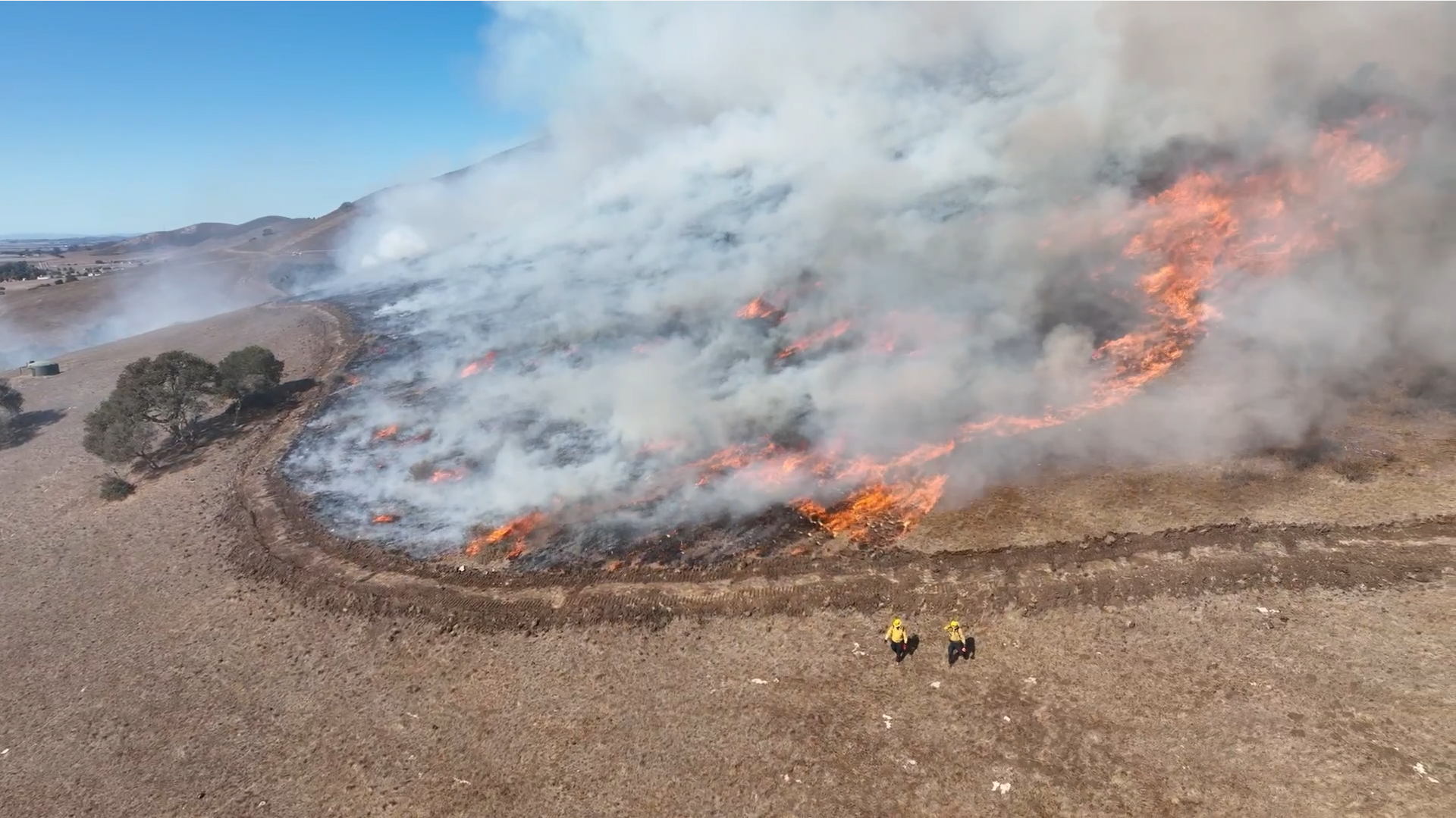
Title: Seeing Fire from Above: UAV Remote Sensing of Wildfire Behavior, Fuels, and Ecological Effects
Abstract: Wildfires are highly dynamic events shaped by interactions among fuels, topography, weather, and vegetation. Three recent studies based on the California Canyon Fire Experiment, a highly instrumented prescribed fire conducted in a steep chaparral canyon near Salinas, California, demonstrate the potential of UAV remote sensing for wildfire research. Using thermal, multispectral, and LiDAR imagery, we developed methods to map fire progression, characterize fire anatomy, and improve the georeferencing of thermal imagery during an active fire. We also used UAV photogrammetry and object-based classification to quantify pre-fire fuel structure, post-fire fuel-height loss, and vegetation recovery. Finally, we linked remotely sensed thermal exposure, including maximum temperature and heating duration, to field measurements of post-fire twig diameter as an indicator of fire severity. These studies demonstrate how UAV remote sensing can connect active-fire behavior with fuel conditions and ecological effects at fine spatial and temporal scales.