
- This event has passed.
Vectors, Rasters, and Robots: Navigating the Shift from Digital Cartography to Spatial AI
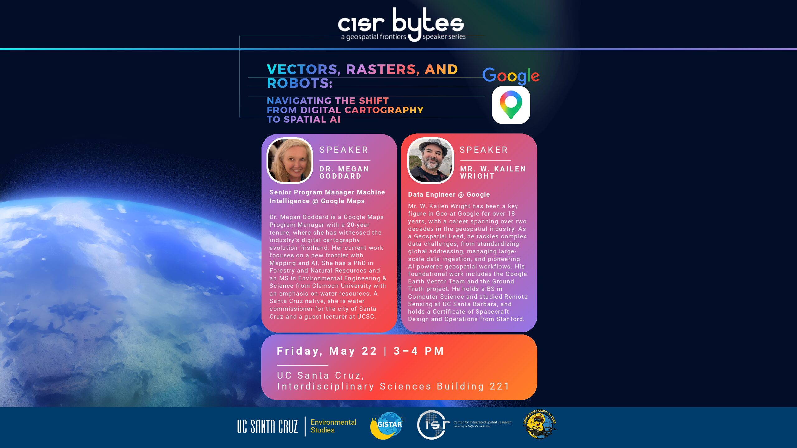
The Center for Integrated Spatial Research (CISR) and GISTAR are excited to resume the CISR Bytes Geospatial Frontier Talk Series. We are pleased to welcome May 22 speakers from the Google Maps and Google Geo team: Megan Goddard and W. Kailen Wright. They will present on:
Vectors, Rasters, and Robots: Navigating the Shift from Digital Cartography to Spatial AI
The speakers will explore the history of digital mapmaking, with a focus on the pivotal Project Ground Truth and how it helped shape modern tech-based mapping since the early 2000s. They will also discuss the rapid advancement of AI technologies and share firsthand experiences from their work at Google Maps and the broader geospatial industry.
Time: Friday, May 22, 3:00–4:00 PM, Talk, Q&A session, and coffee reception.
Location: UC Santa Cruz, ISB Room 221
Hosted by: CISR, GISTAR, and UCSC Drone and GIS Society
About the Speakers
Dr. Megan Goddard is a Google Maps Program Manager with more than 20 years at Google, where she has witnessed the evolution of digital cartography firsthand. Her current work focuses on emerging frontiers in mapping and AI. She holds a PhD in Forestry and Natural Resources and an MS in Environmental Engineering & Science from Clemson University, with an emphasis on water resources. A Santa Cruz native, she also serves as a Water Commissioner for the City of Santa Cruz and is a guest lecturer at UCSC.
Mr. W. Kailen Wright has been a key figure in Google Geo for over 18 years, within a geospatial career spanning more than two decades. As a Geospatial Lead, he works on complex global data challenges, including standardized addressing systems, large-scale geospatial data ingestion, and AI-powered geospatial workflows. His foundational contributions include work with the Google Earth Vector Team and the Ground Truth project. He holds a BS in Computer Science and completed three years of graduate study in Remote Sensing and Geography at UC Santa Barbara. He also earned a Certificate in Spacecraft Design and Operations from Stanford University.
All faculty, staff, and students interested in geospatial technology, GIS, remote sensing, mapping, and Spatial AI are welcome to attend. We hope to see you there!